GeoAI Services
Leverage Artificial Intelligence and Machine Learning with geospatial data for automated insights and large-scale analysis. Get precise results for various applications.
Transform Spatial Data with GeoAI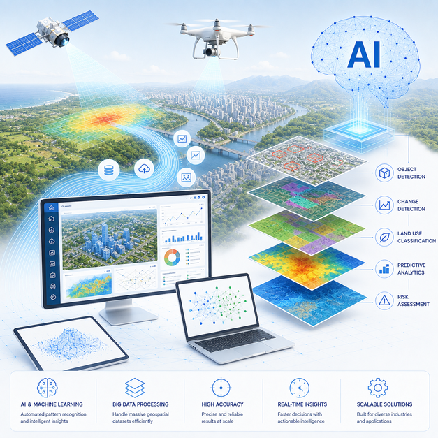
Leverage Artificial Intelligence and Machine Learning with geospatial data for automated insights and large-scale analysis. Get precise results for various applications.
Transform Spatial Data with GeoAI
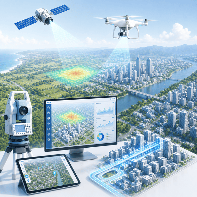
Revolutionize your geospatial analysis with our GeoAI Services. We combine the power of Artificial Intelligence and Machine Learning with rich geospatial data to deliver automated insights and facilitate large-scale analysis. Expect highly precise and rapid results across a multitude of applications.
Why this service stands out
Rapidly process vast geospatial datasets to derive actionable intelligence faster.
Leverage AI and ML for highly precise spatial analysis and predictions.
Automate data processing, reducing manual effort and associated operational costs.
Efficiently manage and analyze massive volumes of geospatial data with AI.
Utilize predictive models for foresight in planning and resource allocation.
Set up autonomous systems for continuous surveillance and anomaly detection.
What makes this service stand out
Applying deep learning algorithms to satellite and drone imagery for automated object detection, classification, and change detection.
Developing custom ML models to identify complex patterns and relationships within large geospatial datasets.
Automatically extracting geographical features like buildings, roads, and land parcels from imagery and LiDAR data.
Using AI to forecast spatial trends, such as urban growth, environmental changes, or resource depletion.
Identifying unusual patterns or outliers in spatial data that may indicate critical events or issues.
Implementing systems for immediate analysis of streaming geospatial data, essential for rapid decision-making.
How we deliver results
Understanding your geospatial challenges and preparing relevant data for AI model training.
Building and training custom AI/ML models specifically for your geospatial datasets.
Integrating GeoAI models into your existing systems and deploying them for operational use.
Continuous monitoring and optimization of GeoAI models for accuracy and scalability.